This nine-day expedition is one of the wildest ways to cross the Pamirs. Instead of following the standard Pamir Highway the whole way, the route dips off-road into the remote Bartang Valley to reach the legendary Sarez Lake, then climbs back up onto the high plateau of the Eastern Pamir, passing salt lakes, Kyrgyz herding communities, and some of the highest passes in the world before finishing in Osh, Kyrgyzstan. Expect long drives on rough roads, homestays with Pamiri and Kyrgyz families, dramatic altitude changes (from 780m in Dushanbe to over 4,600m at the highest passes), and landscapes that shift from river gorges and orchards to high-altitude desert and glacial lakes. This is a trip for travelers who want adventure and authenticity over comfort — a genuine journey through one of the most remote corners of Central Asia.
Leaving the Tajik capital, the road winds east into the mountains, generally following the Panj River, which forms the border with Afghanistan for much of the drive — Afghan villages and mule tracks are visible just across the water. The route typically passes Kulob and climbs over the Shurobod Pass (around 2,100–2,300m) before dropping into Kalai Khumb, a small town at the gateway to Gorno-Badakhshan. It's a long day of driving (7–9+ hours), but a spectacular introduction to the scale of the Pamirs. Overnight in a guesthouse in Kalai Khumb.
From Kalai Khumb the route continues along the Panj River valley, deeper into Gorno-Badakhshan Autonomous Oblast (GBAO), the vast, sparsely populated province that covers almost half of Tajikistan. Khuf is a small Pamiri village tucked in a side valley, known for its terraced fields, orchards, and traditional stone-and-timber Pamiri houses. This is a good first taste of rural Pamiri life before the route turns into more remote territory.
Continuing along the river valley, the drive reaches Bosid (also spelled Basid), a small village used as a staging point before turning off into the Bartang Valley. The scenery along this stretch is classic Pamir — narrow gorges, the turquoise Panj River, and terraced villages clinging to the hillsides, with short photo stops along the way.
This is where the tour leaves the main road and drops into the Bartang Valley, one of the most remote and least-visited valleys in the Pamirs. The Bartang Highway is unpaved and rough, following the Bartang River through a narrow, dramatic gorge. Barchadev (also spelled Barchidiv/Barchidev) sits at around 2,900m and is the last village reachable by vehicle before Sarez Lake — from here, everything is on foot. It also happens to be the starting point for treks to Lake Sarez, one of the Pamirs' great natural wonders. Overnight in a homestay.
Note: Lake Sarez was formed in 1911 when a massive earthquake triggered a landslide that dammed the Murghab River, burying the village of Usoi and creating the Usoi Dam — at 567 meters, the highest natural dam in the world. The lake itself stretches roughly 60 km and is up to 500 meters deep. Because of the (small but real) risk that the dam could fail, visiting the lake requires a special permit, and locals sometimes call it the "sleeping dragon."
The route continues deeper into the Bartang Valley to Savnob, widely considered the most scenic village along the river. Savnob's main landmark is its crumbling 19th-century fortress — the reason the village was once called Tashkurgan, meaning "stone tower." Local legend holds that the fortress was built by a craftsman who had lost the use of his right hand after building an earlier castle too impressive for his king's liking, and built this one with his left. Savnob is also known for old petroglyphs, a holy spring, and a small natural pool where travelers can bathe. Overnight in a village homestay.
From Savnob the road/track continues up the Bartang Valley through a scattering of small settlements toward Changal, deeper into one of the most sparsely populated corners of Tajikistan. The valley narrows and the villages grow smaller and more remote, with green alluvial terraces squeezed between stark canyon walls. Bartangi, the local dialect spoken in these villages, is distinct from standard Tajik, and hospitality here is legendary even by Pamiri standards.
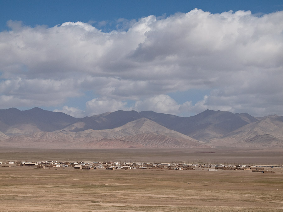
A long transitional day, climbing out of the Bartang Valley and up onto the high plateau of the Eastern Pamir to reach Murghab (also spelled Murgob), Tajikistan's easternmost town and highest major settlement, sitting at roughly 3,600m. Founded in 1892 as a Russian frontier outpost during the "Great Game," Murghab today is a small, wind-scoured trading town with a mixed Pamiri and Kyrgyz population and a lively bazaar built from old shipping containers. Life here has a genuinely edge-of-the-world feel — this is high-altitude, semi-desert terrain, a world apart from the green valleys further west. Overnight in Murghab.
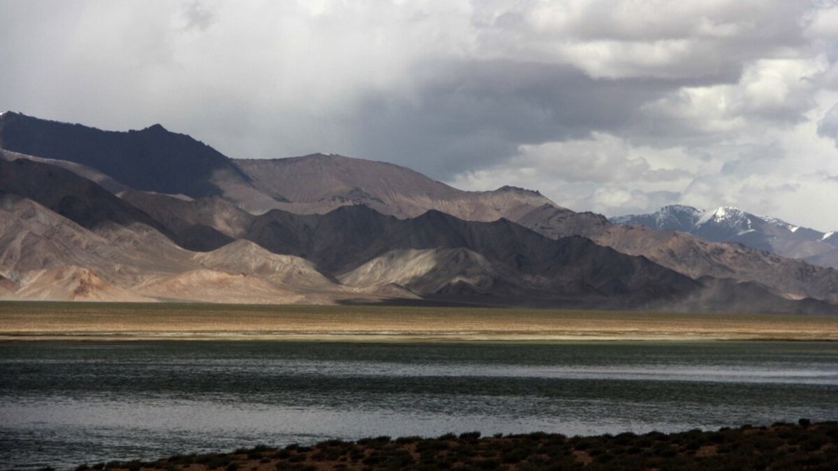
Heading north out of Murghab, the route detours to Rangkul, a beautiful turquoise lake in a remote border valley close to the Chinese frontier, known for its saline waters, surrounding sand dunes, and small Kyrgyz village. From there the route climbs over the Ak-Baital Pass (4,655m) — the highest point on the entire Pamir Highway, and a good spot to watch for Marco Polo sheep and ibex — before descending to Karakul, a huge high-altitude lake (nearly 4,000m elevation) formed by an ancient meteorite impact. Karakul's waters shift from deep blue to turquoise depending on the light, and the lakeside village of the same name is the last real settlement before the Kyrgyz border. Overnight near the lake.
The final leg crosses the Kyzyl-Art Pass out of Tajikistan and down into Kyrgyzstan's Alay Valley, with sweeping views back toward Peak Lenin (7,134m) on clear days. From the border town of Sary-Tash, a good paved road leads the rest of the way to Osh, Kyrgyzstan's second city and a major Silk Road hub for over 3,000 years, home to the UNESCO-listed Sulaiman-Too sacred mountain and one of Central Asia's oldest and liveliest bazaars. Arrival in Osh marks the end of the tour.